


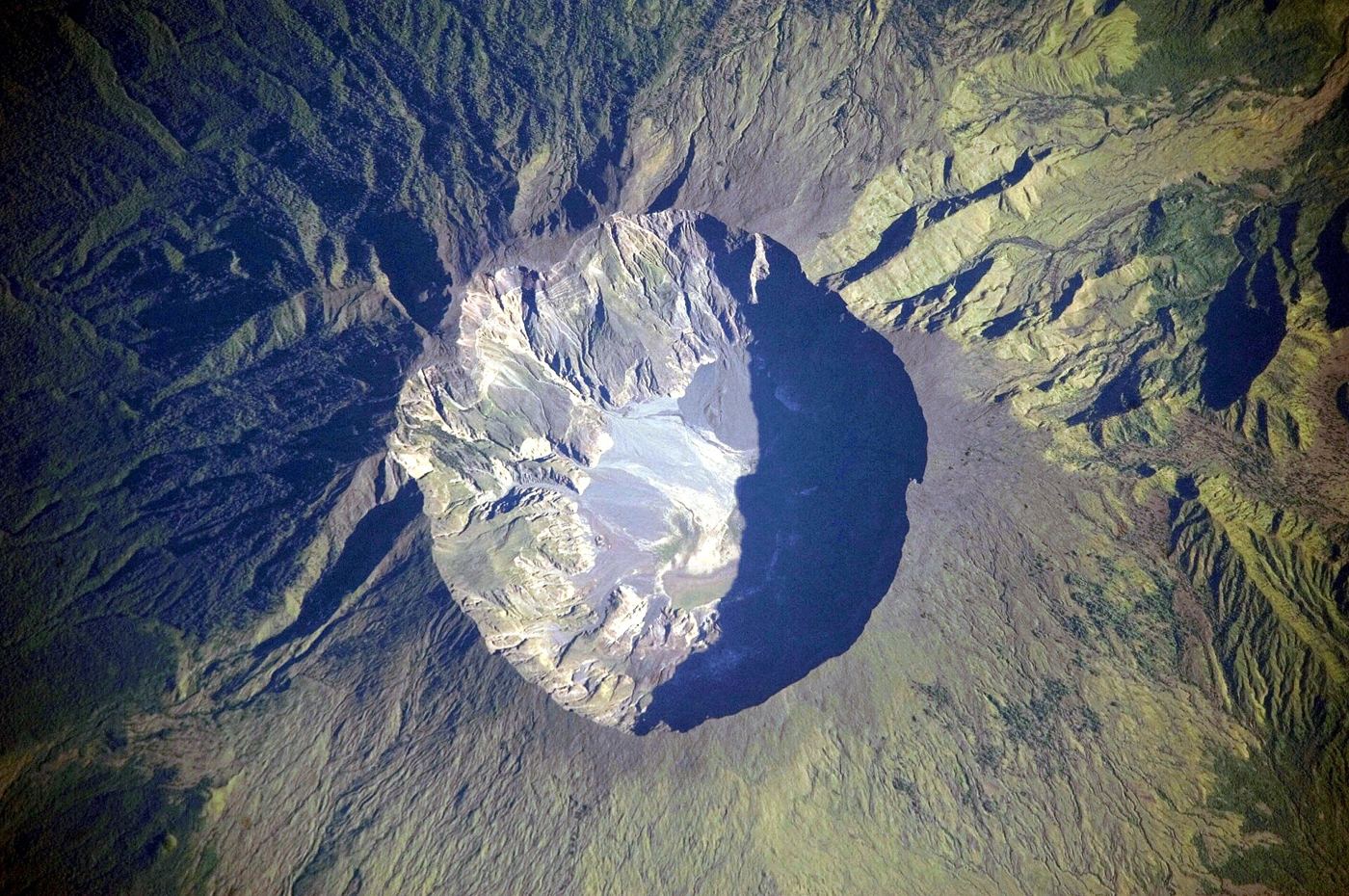
Most of an island volcano hides underwater, which means the earliest signs of unrest can begin on the seafloor where nobody is watching. Volcanologists are working to close that blind spot by placing instruments on the seabed around volcanic islands: pressure sensors that detect the ground swelling as magma moves below, seismometers that listen for the small earthquakes that accompany rising molten rock, and gauges that spot changes in water temperature and chemistry near underwater vents. On land, similar networks have repeatedly given towns valuable hours or days of warning before eruptions, but the flanks of island volcanoes often extend far out to sea, and a collapse or eruption beginning on a submerged slope can also generate dangerous waves. Cabling instruments to shore provides constant power and real-time data where budgets allow, while battery-powered units that store readings for later collection offer a cheaper option for remote islands. Research teams testing both approaches say the seabed records have already clarified how several recent episodes of unrest developed, including swarms of tiny quakes that land-based stations, screened by distance and ocean noise, had missed almost entirely.
What the Evidence Shows
The practical challenge is keeping delicate equipment alive in one of the harshest environments on Earth, where salt water corrodes metal, fishing gear can snag cables, and the volcano itself may bury a sensor in ash or lava. Engineers have responded with tougher housings, redundant instruments, and designs that can be dropped from a ship and later recovered by an acoustic release rather than by divers. Data handling is improving too, as software trained on past eruptions helps observatories separate meaningful warning patterns, such as steadily shallowing earthquakes, from the constant background rumble of waves and marine life. For island communities, the goal is not perfect prediction, which scientists say remains out of reach, but a clearer ladder of alert levels backed by evidence from both land and sea. Evacuation drills in several volcanic islands now use scenarios informed by seabed data, including the possibility of waves arriving much faster than an eruption column becomes visible. Reporting and analysis from sources such as NASA track the same developments, and specialists following the seafloor volcano sensors say the direction is now consistent across independent lines of evidence.
The Wider Context
Funding bodies are watching the seafloor volcano sensors closely because the work sits at the junction of basic curiosity and practical return. Grant panels increasingly ask for a path from discovery to application, while researchers push back that the most valuable uses of fundamental science are rarely the ones written into the original proposal. The tension is productive when both sides stay honest about timescales.
What Happens Next
The long view on the seafloor volcano sensors is that fields advance by accumulation rather than by single announcements. This result adds a solid, checkable piece to a structure many teams are building, and its authors have shared their data so the piece can be tested from every side. That is how the picture eventually becomes reliable enough to act on. You can follow related developments in our coverage of science.
It is also worth remembering how quickly the picture in this area has changed before. Positions that looked settled a few years ago have been revised as new data arrived, and the same humility is appropriate now. The strongest coverage of this subject, and the most useful advice, tends to come from sources that update their views openly when the facts move, rather than defending an earlier position long after it has stopped fitting the evidence available.
